BMU - Base Maps of Ukraine
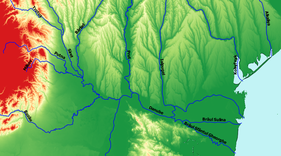
The Base Maps of Ukraine (BMU) project has generated a set of base maps for Ukraine and the surrounding countries that can be used by GIS applications such as Google Earth, ArcGIS and QGIS. The set includes base maps for rivers, terrain elevation, and terrain ruggedness index. Also provided are a land mass silhouette and a water mass silhouette that can be used as map backgrounds. The BMU project was executed in support of the OpenOttoman project (openottoman.org), and in close coordination with the Historical Gazetteer of Crimea project and the Gazetteer of Beauplan's Ukraine project.
Databases
BMU-Elevation-TIF, Mark Polczynski
BMU-Land-SHP, Mark Polczynski
BMU-Rivers-KML, Mark Polczynski
BMU-Rivers-SHP, Mark Polczynski
BMU-Ruggedness-TIF, Mark Polczynski
BMU-Water-SHP, Mark Polczynski
Documentation
BMU-Description, Mark Polczynski