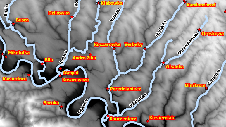
In 1630 Guillaume Le Vasseur, sieur de Beauplan, travelled to the Polish-Lithuanian Commonwealth to begin a seventeen-year military career in the Crown army. His account of this period was published in 1660 as La description d'Ukraine. In addition to providing a coherent tableau of 17th century Ukrainian landscape, people, flora, and climate, Beauplan's work provides a major cartographic description of this region. The purpose of the Gazetteer of Beauplan's Ukraine (GBU) project is to provide a georeferenced database for places shown on Beauplan's maps. The primary output of this project is the gazbu database that captures over 3,000 populated places, rivers, river fords, river rapids, islands, forests, mountains, and valleys. In addition to the materials cited below, a web map showing database entries is available at: https://qgiscloud.com/polczynski/GBU_Web_Map/.
Databases
gazbu-CSV, Mark Polczynski and Michael Polczynski
Documentation
GBU-Description, Mark Polczynski and Michael Polczynski
